You see it often in Wellington—a new build squeezed between two heritage structures on a steep Thorndon hill, or a deep cut on the Terrace where the ground is a mix of weathered greywacke and reclaimed fill. The excavation looks fine from the street, but the risk lies underground. We monitor lateral displacement, pore pressure changes, and vibration thresholds during the entire dig phase. A single uncharted fracture in the bedrock can spoil six months of planning. We tie into the city's specific geology, referencing the NZGS guidelines for good practice, and often combine our monitoring arrays with prior CPT testing data to calibrate soil stiffness profiles right from the design stage. For projects close to the fault lines that run through the CBD, our readings feed directly into the structural engineer's daily review, not just a monthly report. This is about keeping the excavation open and the neighboring foundations intact, something that matters deeply in a compact capital like Wellington.
In Wellington's greywacke, movement rarely announces itself—real-time monitoring is the only way to catch a relaxation wedge before it releases.
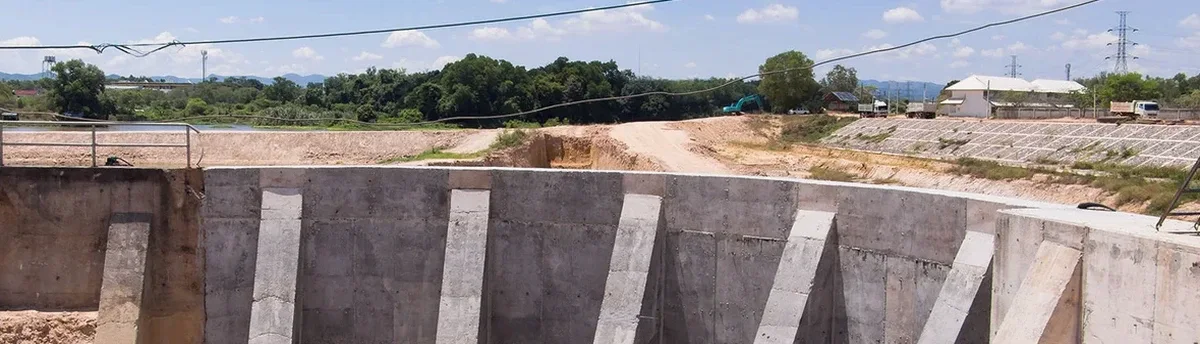
Local ground factors
NZS 4203 and the Wellington City Council District Plan set strict performance criteria for ground movement in seismic zones. In the Wellington CBD, the risk is twofold: deep excavations can reactivate minor faults mapped only in the last decade, and the typical granular colluvium overlying bedrock is prone to piping when dewatering goes unchecked. We have seen sites where a 2-metre cut triggered differential settlement 15 metres away, simply because the groundwater drawdown was steeper than the model predicted. Our alert protocol is tied to amber and red thresholds—amber triggers a technical review within 24 hours, and red halts the excavation immediately until the engineer of record signs off. For excavations adjacent to Category I heritage buildings, we also install dynamic tilt sensors because those structures have almost zero tolerance for rotational movement. Ignoring the monitoring plan is not just a code violation; it is a direct threat to the public and the project programme.
Common questions
What is the typical cost range for excavation monitoring in Wellington?
For a standard urban excavation with four inclinometer stations, a pair of piezometers, and weekly total station surveys over a three-month period, the cost generally falls between NZ$1.540 and NZ$4.210. The final figure depends on the number of instruments, the monitoring frequency required by the council, and site access constraints.
How quickly can you mobilise a monitoring team in Wellington?
For urgent jobs, we can have a crew on site within 48 hours, provided the instrument plan is already approved. Custom arrays requiring specific VW piezometers or in-place inclinometers may take a week to procure within New Zealand.
Do you handle the council consent requirements for the monitoring plan?
We prepare the instrumentation layout and the alert response procedure. The overall consent application sits with the project's geotechnical engineer of record, but we supply the technical schedule and the NZGS compliance justification they need to lodge it.
What happens if an instrument reaches the amber threshold?
An automated SMS and email alert goes to the designated project contacts. Within 24 hours, we provide a written technical note analyzing the trend, cross-checking with other instruments, and recommending whether to reduce the excavation advance rate or increase the survey frequency.